Accurate Data. Clear Views. Local Service.
CropForce One provides professional drone mapping, aerial photography, and precision data collection for farms, businesses, landowners, and rural properties throughout southeast Nebraska and the surrounding region.
Whether you need detailed field maps, aerial images for your operation, or drone video that showcases your property, CropForce One delivers reliable aerial information to help you make informed decisions.
Request a Consultation
Contact CropForce One
What We Do:
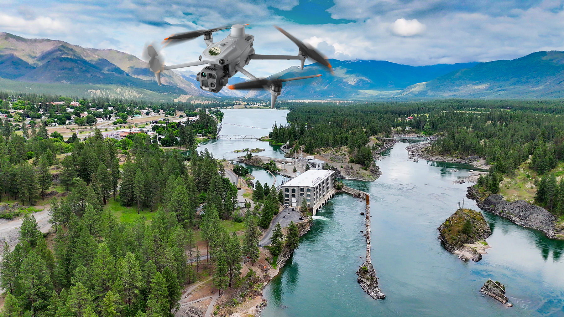
CropForce One uses advanced drone technology to capture accurate aerial imagery, detailed maps, and thermal data for agricultural, commercial, and rural applications. Every flight is planned with your specific goals in mind, providing information that is difficult or impossible to gather from the ground.
Our services include aerial mapping, orthomosaic imagery, thermal inspections, precision agriculture support, and professional photo and video production.
Call or request a quote – no obligation
Our Drone Services
Field & Property Mapping
High-resolution aerial maps provide an accurate view of your fields, property boundaries, drainage patterns, and other important features.
Precision Agriculture Mapping
Create field maps that can be integrated into many modern GPS guidance and tractor autosteer systems, helping improve efficiency and accuracy in day-to-day operations.
Thermal Drone Imaging
Thermal cameras reveal temperature differences that can help identify irrigation concerns, drainage issues, equipment hot spots, livestock locations, and other conditions not visible with standard photography.
Aerial Photography & Video
Capture stunning aerial photographs and cinematic video for farms, ranches, construction projects, real estate, businesses, insurance documentation, and community events.
Why Work With CropForce One?
- Locally owned and operated
- Professional drone pilot
- High-resolution aerial imagery
- Accurate mapping and data collection
- Fast turnaround on most projects
- Customized solutions for every property
Serving Agriculture and Rural Nebraska
From family farms and ranches to rural businesses and landowners, CropForce One provides practical drone services designed around the needs of local customers.
Whether you’re documenting a property, planning a project, creating maps for precision farming, or simply looking for a better view from above, we’re here to help.
A Better View Starts Here
Drone technology offers a faster, safer, and more efficient way to gather information about your property. From detailed maps to beautiful aerial photography, CropForce One helps you see more, plan better, and make confident decisions.
Have a project in mind? We’d be happy to discuss how drone technology can help.
Not sure if drone mapping and imaging is right for your field?
👉 Talk with us and we’ll walk it with you.